< Previous | Index | Next >
What’s in an image? Sometimes quite a lot, more than meets the eye.
I’m posting an image every day (or as often as I can). A photo, an image from the internet, a diagram or a map. Whatever takes my fancy.

We’re back inside the villa now. A comfortable space, a nice place to sit, a small table to put down a cup. Notice how Roman walls were painted to simulate architectural features; there’s less structure here than at first appears, plain flat walls are made to look like carved pillars, a border at the top and elaborate skirting boards. Instead of hanging pictures, these were usually painted directly onto the wall plaster as well.
After nightfall, the only light available would have been small lamps burning oil, normally olive oil. A stand for two pendant lamps stands conveniently between the ‘sofa’ and the little table. There are two more lampstands in the dining room.
There was no TV to watch, but conversations would have covered all sorts of topics, no doubt – from household issues, to travel plans, how best to manage a difficult child, the weather, the state of farm crops, planning for an expected guest’s arrival, or the coming journey back to Corinium or Londinium.
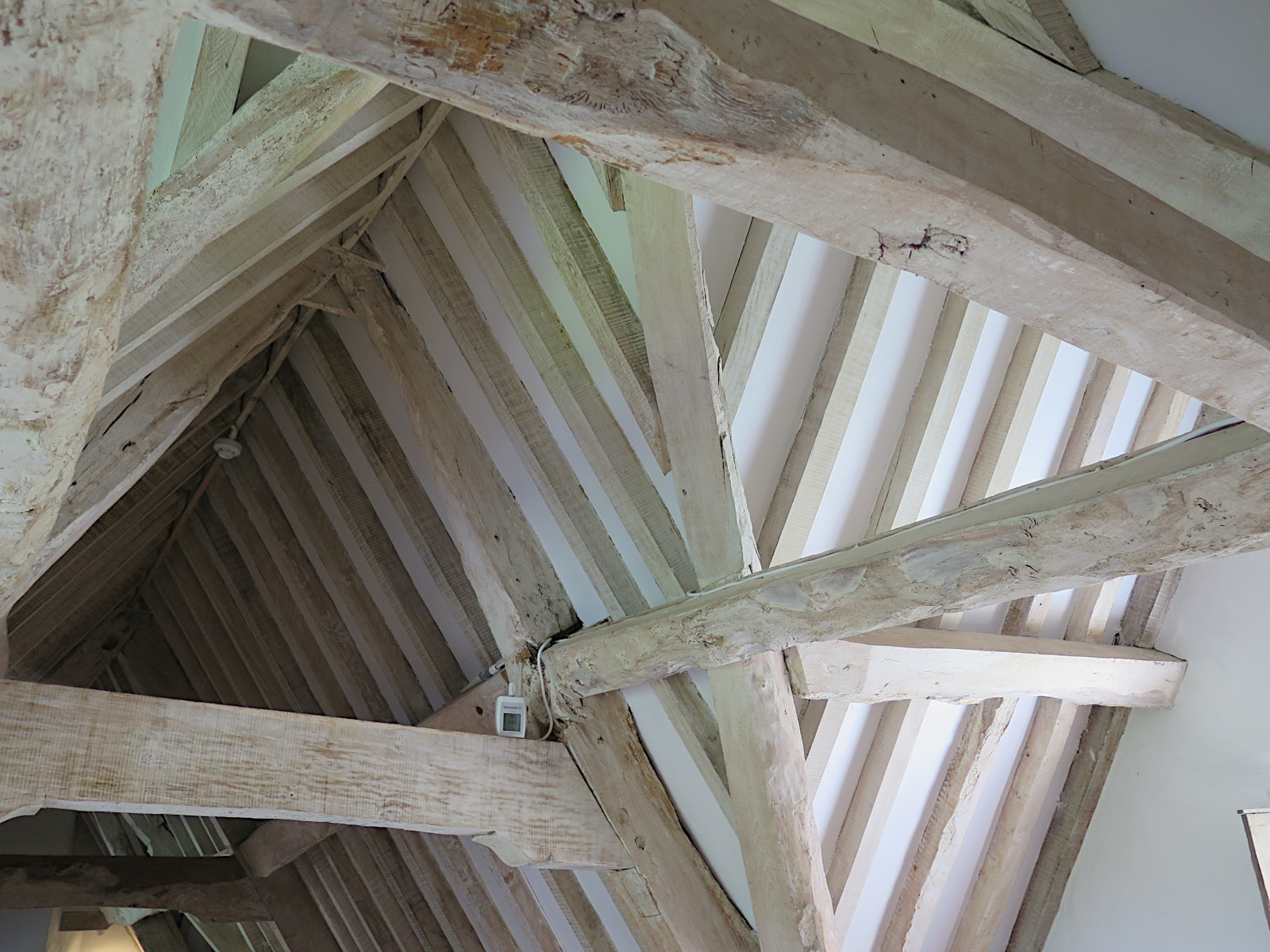
Images of the Roman villa
For convenience, here’s a list of all the Roman villa images:
Ceiling, Desk, Dining room, Exterior1, Exterior2, Garden, Kitchen, Mosaic floor, Office, Sitting room
Themed image collections
The links below will take you to the first post in each collection
Cirencester, Favourites, Irish holiday 2024, Roman villa
< Previous | Index | Next >
Useful? Interesting?
If you enjoyed this or found it useful, please like, comment, and share below. (If you don’t see those links, click the article’s title above the main photo and they will appear.) Send a link to friends who might enjoy the article or benefit from it – Thanks! My material is free to reuse (see conditions), but a coffee is always welcome and encourages me to write more often! ![]()


_-_Palazzo_Nuovo_-_Musei_Capitolini_-_Rome_2016.jpg)