< Previous | Index | Next >
I set out for a walk along the canal, not intending anything more than a quick explore. I began near Chalford and thought of walking in the Stroud direction, but on the spur of the moment I decided to follow the canal through Chalford village instead as I hadn’t gone that way before.
A gentle stroll turns into a major plan
I was enjoying my walk and soon decided to extend it as far as the mouth of the canal tunnel at Daneway Inn. While driving home afterwards I had the idea of walking the entire route in small chunks. So I now have a plan for the old Thames and Severn canal; I’ve done several sections previously, but this time I hope to repeat the walks, covering as much as possible in short sections, and writing up each walk for Journeys of Heart and Mind (JHM).
Part of the canal runs through a tunnel with several sections blocked by collapses, some other sections run through private property and can’t be accessed. Others have been filled in, turned into roads, or are otherwise not walkable. But where the canal has been restored, the towpaths are in great condition. Elsewhere, towpaths are usually passable, especially in dry weather, and they are usually open for use even when the canal itself remains derelict.
Making a start
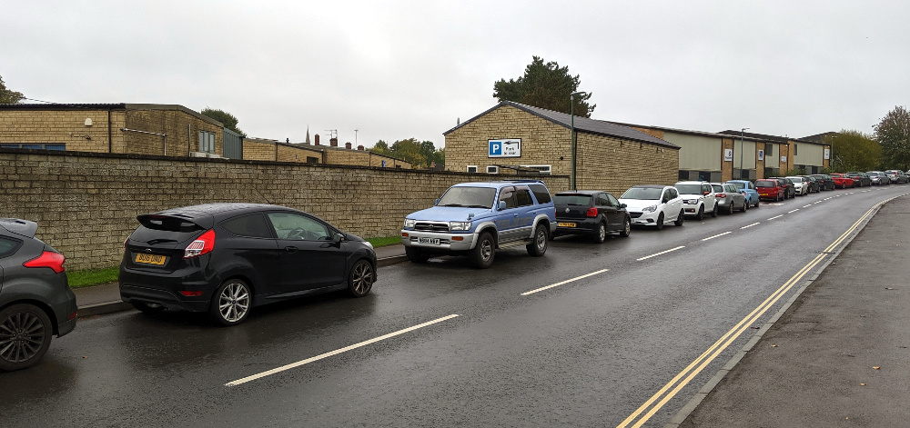
I was able to park the car right by the tow path (Map), just off London Road west of Chalford (very near Belvedere Mews). Don’t assume you’ll be able to do the same; you might, but there’s only room for half a dozen cars here.
The canal is quite derelict in this section, there’s water in it at many points, but not everywhere. The stonework and brickwork of the locks is severely damaged, and more recent structures such as pipes and small bridges cross the canal and will need to be rerouted or rebuilt. In places the canal has been filled in and one section has been used as a diversion and is now part of the River Frome. The eastern part of today’s route will be very expensive to restore; there are, for example, sixteen locks to rebuild, and not just a simple refurbishment of the masonry and new, timber, lock gates. For the most part it will be a combination of restoration and refacing where possible, but full reconstruction from scratch in many places where the damage is particularly severe.
It’s hard to grasp how destructive the natural world is to our built environment. The canal was dug 235 years ago (completed in 1789) and during its period of use must have been well maintained and repaired whenever necessary. The last narrow boat traffic passed this way about 100 years ago. It was already in bad shape by then, but natural decay, leaks and the growth of trees has resulted in the dereliction we see today.
Section by section
Leaving the car, and carrying my rucksack with a water bottle, I headed east along the tow path. I didn’t take a map, but the path is well marked. I subscribe to the OS maps on my phone (good enough for walks like this) and next time I plan to use the OS 6-inch map for 1892 to 1914 to better understand the canal’s surroundings while it was still in use.

(Hint: Click any image to enlarge it.)
The section through Chalford village is very pretty, on the information boards it’s likened to a Swiss valley. That’s a fair comparison, I think. The wooded valley rises sharply on either side, the River Frome (or Stroudwater) runs along the valley bottom, and stone cottages cling to the slopes on either side. If you could only visit one place along the canal, Chalford would be an excellent choice.

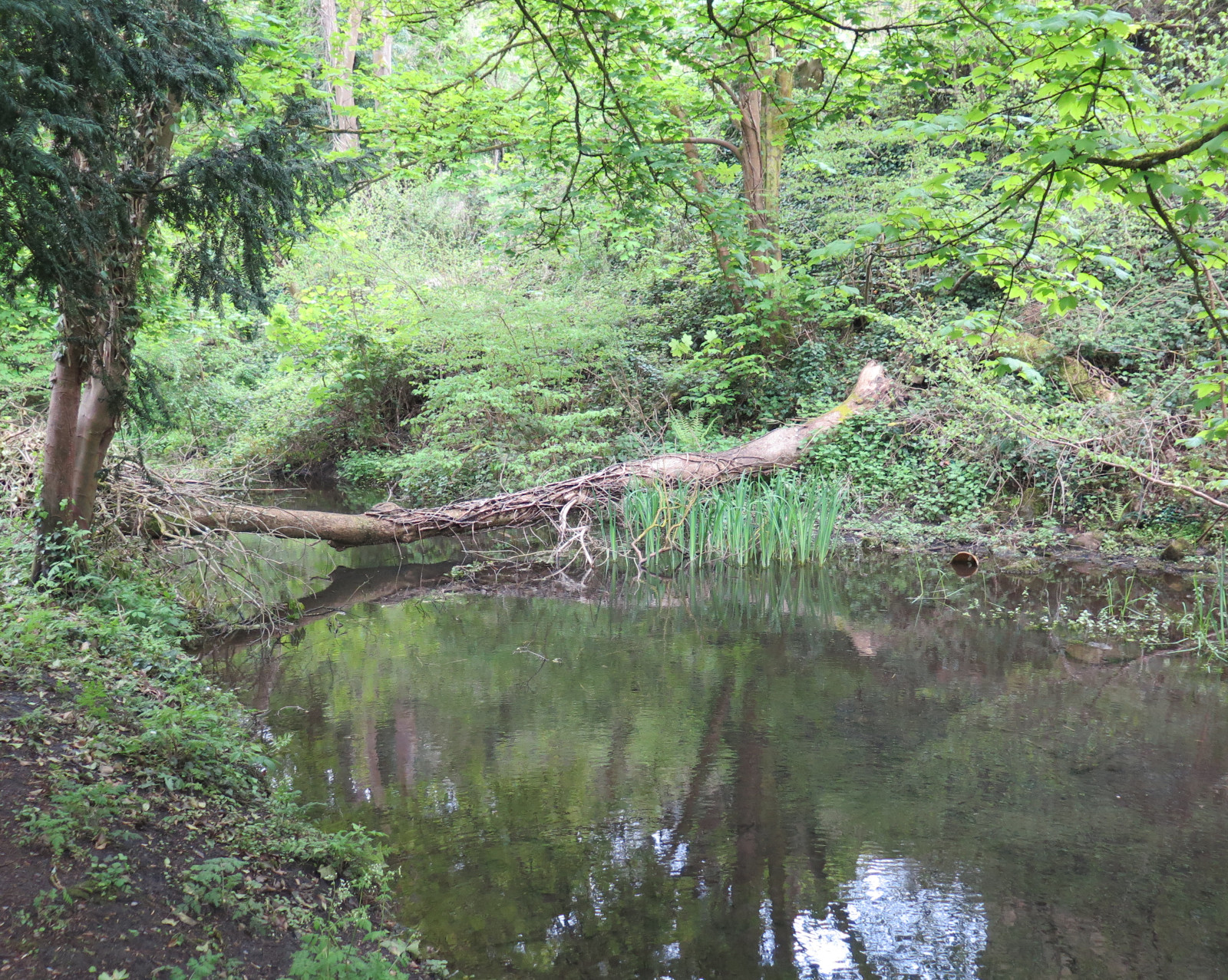
Beyond the eastern end of Chalford, the tow path passes a lake on the left; originally this was a mill pond, supplying water to turn the wheel at Baker’s Mill. When the canal was constructed, water supply was a frequent problem and the mill pond was extended by the canal engineers to keep this section of the canal full enough even when the locks were operating frequently due to higher traffic levels. The lake is partly silted up now, especially close to the mill, and it has become a wildlife reserve. Passing this point I spotted a swan’s nest in use and a group of mallards nearby.

Some sections of the canal are badly silted and are full of plants like this glorious marsh marigold close to Siccaridge Wood. The nature reserve is well worth a visit if you have time. The site stretches up the hill from the canal and faces south, so it’s a warm spot when the sun shines and likely avoids early frosts in autumn and late ones in the spring. Further on again, a small footbridge crosses the canal and the tow path continues on the north bank until it reaches Daneway Lane.
I stopped at the Daneway Inn for a lovely Coronation Chicken sandwich with a simple salad and some crisps along with a welcome cup of coffee. I have to report that service was prompt and I felt welcomed. The canal continues a little further and the path resumes from the corner of the Inn car park. The tunnel portal (Map) looks mysterious and, frankly, uninviting. It would have been an adventure to travel through the tunnel in a narrow boat; one day it may be possible again!

See also:
- More on Baker’s Mill – Daphne Neville
- Chalford’s website – Welcome to Chalford Hill
- Daneway Inn reviews – Trip Advisor
- Historic maps online – National Library of Scotland
- Photos, history and more – Cotswold Canals in Pictures
- Restoring Lechlade to Saul Junction – Cotswold Canals Trust
- More detail on part of the route – Stroudie Central
- Information on Siccaridge Wood – Gloucestershire Wildlife Trust
< Previous | Index | Next >
Useful? Interesting?
If you enjoyed this or found it useful, please like, comment, and share below. (If you don’t see those links, click the article’s title above the main photo and they will appear.) Send a link to friends who might enjoy the article or benefit from it – Thanks! My material is free to reuse (see conditions), but a coffee is always welcome and encourages me to write more often! ![]()