< Previous | Index | Next >
What’s in an image? Sometimes quite a lot, more than meets the eye.
I’m posting an image every two days (or as often as I can). A photo, an image from the internet, a diagram or a map. Whatever takes my fancy.
(I’ve posted 22 photos of Cirencester recently; I’m going to choose some other topics for a while and will return to images of the town later.)

The Parish Church of John Baptist towers (no pun intended) over the rooftops of other buildings in Cirencester in this image. The photo was taken looking east from the top of one of the grassy banks covering the Roman Amphitheatre. The honey-coloured Cotswold stone glows in low, January sunlight from the south.
In the background you can see the low hills that surround the town in most directions; the town itself lies on the lower area where the Churn approaches the Thames, but this lower area is small. The Roman town of Corinium was entirely on flatter land (apart from the amphitheatre); but the modern town has spread further, so Chesterton, Stratton and the Beeches areas stand on slightly higher ground. For this reason, the church tower is visible from the distance wherever the view is not blocked by woodland or buildings.
Cirencester
For convenience, here’s a list of all the Cirencester area images:
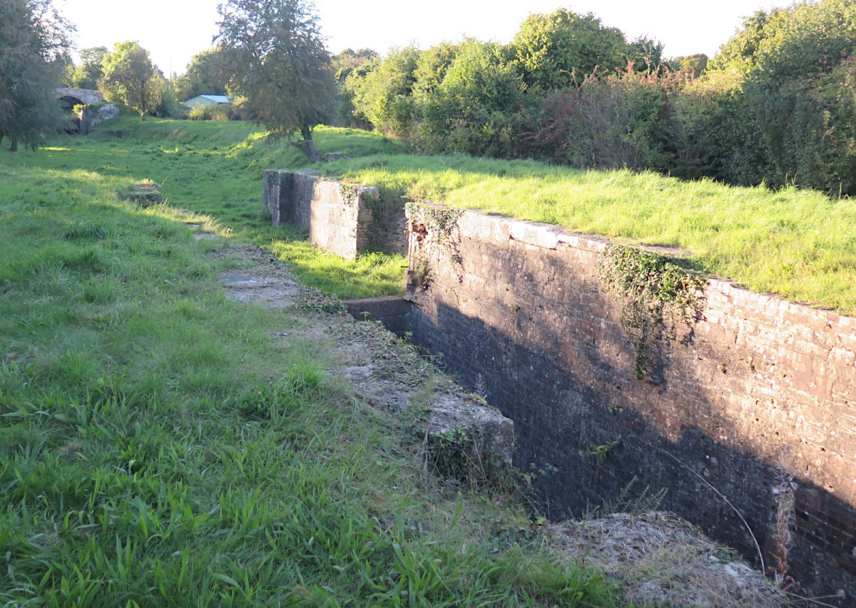
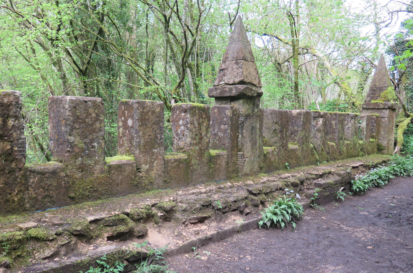
A417 roadworks, Advent Market, Bishops Walk, Baunton, Canal 1, 2, Castle Street, Christmas lights 1, 2, Church 1, 2, 3, 4, 5, 6, Churn flood, Countryside, Fallen tree, Fleece, Gasworks, Gloucester Street, Hare 1, 2, Hospital, Market Place 1, Phoenix Fest, Riverside Walk, Stone plaque, Stratton Meadow, Tank traps, View, Wonky 1, 2, Yellow Iris
Themed image collections
The links below will take you to the first post in each collection
Cirencester, Favourites, Irish holiday 2024, Roman villa
< Previous | Index | Next >
Useful? Interesting?
If you enjoyed this or found it useful, please like, comment, and share below. (If you don’t see those links, click the article’s title above the main photo and they will appear.) Send a link to friends who might enjoy the article or benefit from it – Thanks! My material is free to reuse (see conditions), but a coffee is always welcome and encourages me to write more often! ![]()