< Previous | Index | Next >
Image 116 – What’s in an image? Sometimes quite a lot, more than meets the eye. I’m posting an image every day or so.

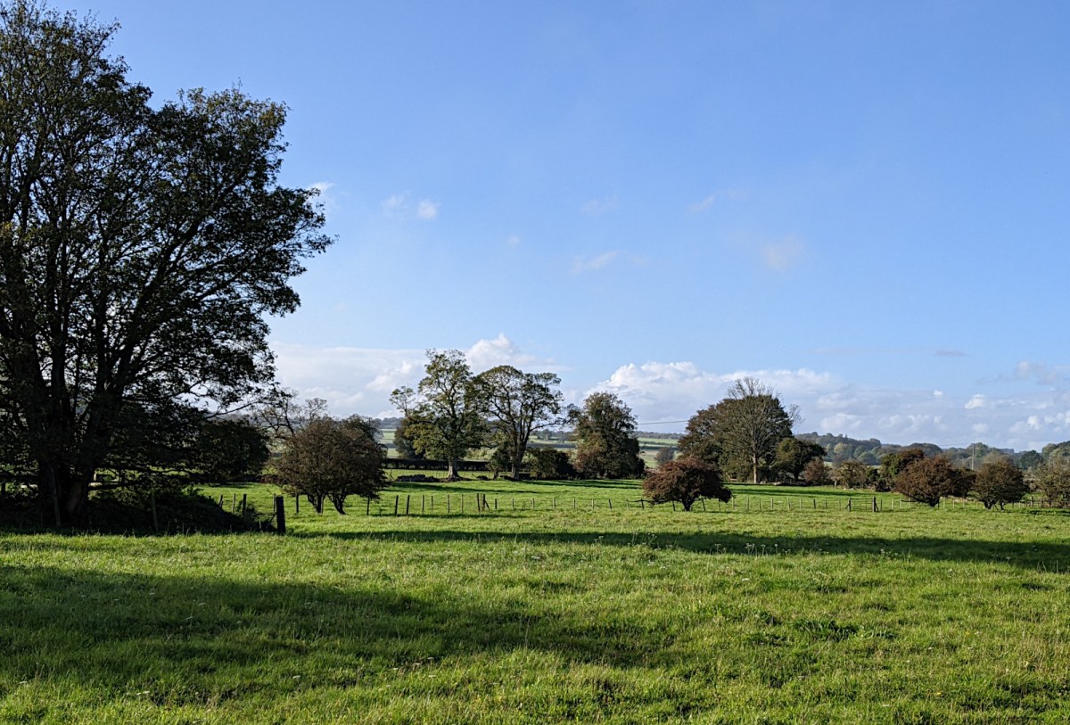
This farmland just on the edge of Cirencester is a classic Cotswold scene. There is higher land in the background with scattered trees, and in the foreground you can see rich pasture good for cattle or horses.
The flat, pasture land is part of the River Churn flood plain, while the low hills beyond are outcrops of oolitic limestone, the rock that forms the backbone of the Cotswold hills. Travelling north and west from Cirencester takes you through steadily rising hills peaking at 330 metres or so, and dissected by water-cut valleys until you reach the Cotswold scarp that drops back almost to sea-level within a short distance. Beyond that is the wide, flat vale of the River Severn, and beyond that again, Wales with its hills and mountains. In medieval times Cirencester was known in Welsh as Caer Ceri. If the Saxons had not settled quite so far west, Cirencester might have signs saying ‘Croeso y Gaerceri’, and the Severn would have been Hafren.
When: 26th October 2023
Where: Gloucester Road, leaving Cirencester
< Previous | Index | Next >
Cirencester
For convenience, here’s a list of all the Cirencester area images:
A417 roadworks, Advent Market, Bishops Walk, Baunton, Canal 1, 2, Castle Street, Christmas lights 1, 2, Church 1, 2, 3, 4, 5, 6, Churn flood, Countryside, Fallen tree, Fleece, Gasworks, Gloucester Street, Hare 1, 2, Hospital, Market Place 1, Phoenix Fest, Riverside Walk, Stone plaque, Stratton Meadow, Tank traps, View, Wonky 1, 2, Yellow Iris
Themed image collections
The links below will take you to the first post in each collection
Cirencester, Favourites, Irish holiday 2024, Roman villa
Useful? Interesting?
If you enjoyed this or found it useful, please like, comment, and share below. (If you don’t see those links, click the article’s title above the main photo and they will appear.) Send a link to friends who might enjoy the article or benefit from it – Thanks! My material is free to reuse (see conditions), but a coffee is always welcome and encourages me to write more often! ![]()

